
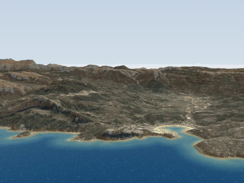
Mallorca
The largest of the Balearics: from the Serra de Tramuntana, a World Heritage Site, to the coves of the east coast.
1,007 places75 hikes
Stay updated
Experiment · Open data in 3D
Each island is a model made of 2-metre blocks, built from IGN terrain, Cadastre buildings, the PNOA aerial photo and OpenStreetMap paths. Choose one and explore it in your browser, on your phone too.
The largest of the Balearics: from the Serra de Tramuntana, a World Heritage Site, to the coves of the east coast.
1,007 places75 hikes
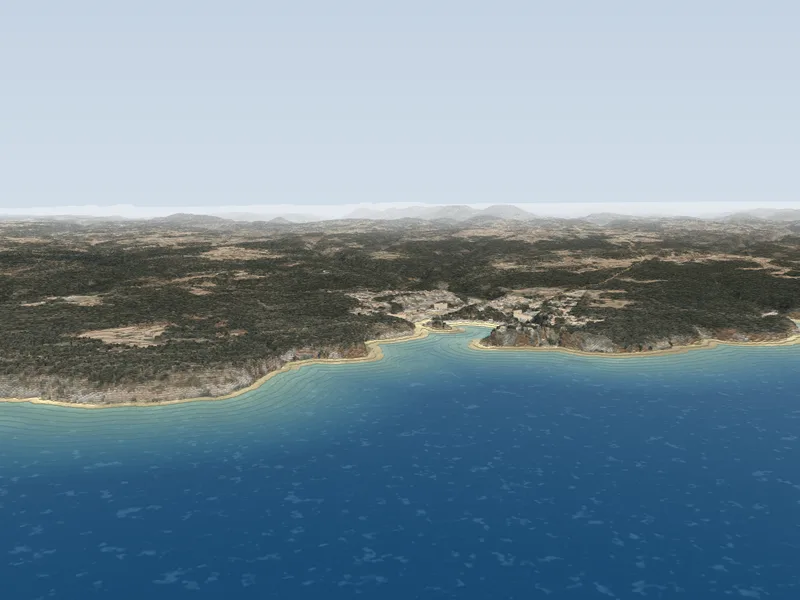
A Biosphere Reserve since 1993, with Talayotic Menorca, a World Heritage Site since 2023.
316 places18 hikes
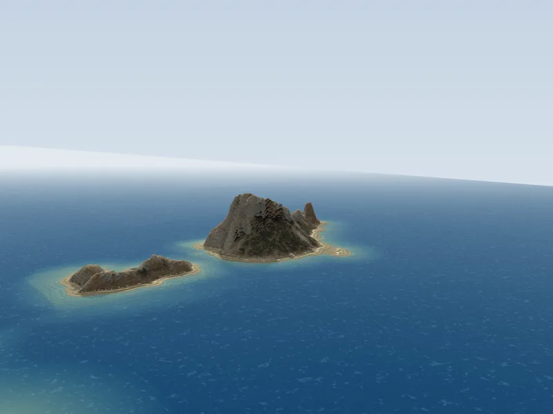
Dalt Vila and the posidonia meadows that join the two islands: a World Heritage Site since 1999.
288 places13 hikes
Each island is made of 2-metre blocks. Trees are placed over the forest cover rather than measured one by one; where the aerial photo was missing, the colour comes from the land cover.
All with open-source software. The pipeline turns the data into tiles on a laptop; the viewer draws them in your browser, with no server.